Home
The Parish –Description and Character.
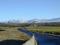
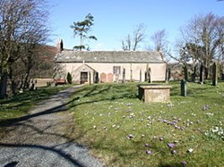
Waberthwaite and Corney Parish in the Copeland District of Cumbria is a small rural Parish covering an area of 2506 hectares. Situated entirely within the Lake District National Park, it lists among its assets an old granite quarry which is a Site of Special Scientific Interest (SSSI); the Esk estuary which is designated as a Special Area of Conservation (SAC), a designation for areas of European importance; a 900 year-old church and the remains of an Anglian cross of similar period. On the fells to the East of the parish lies Barnscar, an area where Iron Age and Bronze Age remains indicate the long period of settlement in the area.
From the eastern boundary which traverses the peaks of Buckbarrow, Burn Moor, Whitfell and Fox Crag, the land sweeps down Waberthwaite and Corney Fells to the western boundary along Eskmeals Pool not far from the sea. The northern Boundary follows Rowantree Gill, Samgarth Beck, and Broadoak beck to the tidal south and east median of the River Esk. The southern boundary is formed by Kinmont Beck, with head waters on the slopes of Buckbarrow.
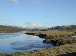
The landscape is pleasantly varied and there are footpaths and bridleways giving access to fells, woods, estuary, marsh, lowland meadow, and grazing land. Wildlife includes fox, badger, deer and a variety of birds.
The population is 230 (2011 census) a reduction of 44 since the 2001 census. The age profile has changed in a way which indicates an aging population. The population density is classified as ‘super-sparse’. Much of the population is contained in some 10 very small and scattered hamlets and the rest in individual farmsteads. All are too small to provide a wide range of services, though the largest, Lane End, does have a shop with a Post Office and is the location of the Village Hall and school, and could, therefore be considered as a village centre.
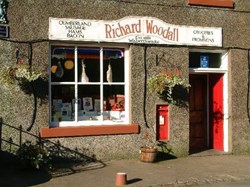
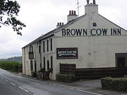
The Parish is generally well provided with mains services, though some houses still have no mains water and there is no mains sewage or gas in the Parish. The Parish has managed to retain two churches, its school, a Post Office, a pub and local shop. Some of the parish can now access high speed broardband from the cabinet at Lane End.
If you would like us to add some of your photographs of the parish to the web site please email them to us,
