Walk 1 - Lower Thorpe
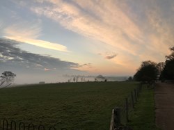
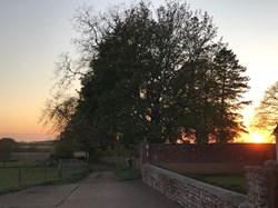
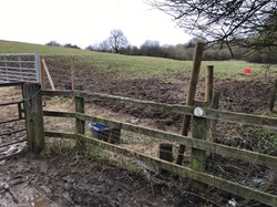
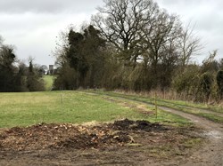
Start along the Concrete road opposite the old Post Office in Banbury Lane. Pass the back of Danvers House and the football field. At the end of the hedges on the left follow the path diagonally across the middle of the field. It is usually well marked. Cross over a small footbridge straight across the field eventually joining a farm track that leads through Culworth Grounds Farm where horses are everywhere. Carry on walking past the stables over the farm road and through a gate on the other side. Culworth Grounds house is on the right. Cross the field keeping the trees on the right, to a stile, into a copse, across a footbridge and another stile. Cross the field keeping to the left towards the house, and out of a gate to the Thorpe road. This is an access route for HS2 work so things may change here.
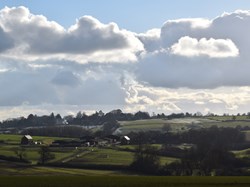
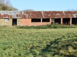
Turn right along the road and then left (c 10 m), through the gate on the left diagonally across the field, with the old barn on the left. This is a bit of a climb to the next gate. Through the gate, under the power lines. You will pass an old fallen down tree. A wreath lays on it. The wreath marks the location where a Wellington bomber aircraft crashed. It came from the RAF's wartime Operational Training Unit number 12 at Chipping Warden airfield. The aircraft clipped a beech tree on Thorpe's northern boundary with Culworth, on 20 October 1943 with the loss of five lives. It was on a night-time training exercise and crashed at 22.54 hrs after overshooting the airfield and turning back. The aircraft crashed into Culworth Grounds' field almost opposite Chumscote House, formerly Black Cottages. A wreath has been placed on the site annually for many years by a former resident of Black Cottages where he witnessed the crash as a young boy. (from Thorpe Mandeville’s website)
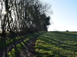
Keep the hedge on your left, through a gate. Keep your eyes open for a nesting box for owls in a tree on the left. Just after the next gate is a small bridge on the left which you cross onto the path past the solar park. Carry on past the solar park, the converted barn on the left and the new ever expanding pig farm. Head back towards Culworth, keeping the wood on your right. A field later veer right before you come to a gate. The footpath takes you across the field at the end of which is an old barn in the process of being converted into a house. Carry on along the farm track and over the stile into Banbury Lane. Turn right along the road and back into Culworth.
The walk takes about and hour and a quarter, leisurely walking.
