Home
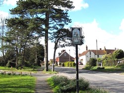
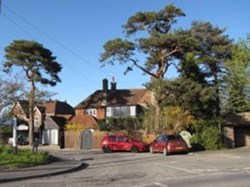
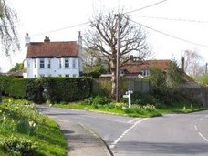
Ninfield is an ancient settlement and parish mentioned in the Domesday Book 1086 historically known as Nerewelle, Nymenfeld, Nemefeld and Nenfield. Local legend has it that Standard Hill is the place where William the Conqueror raised his standard prior to the Battle of Hastings and the village sign illustrates this legend today. In the c19th, with its dependence on agriculture, the settlement was relatively small and dispersed. The village comprised of 2 hamlets (Lower Street and Ninfield Cross) with the medieval church and the school located midway between and surrounded by open fields but linked by Church Path. From the 1920s, with major social and economic changes and the increase in car travel, new housebuilding was taking place in the village, no doubt attracted by the elevated location with its long views. This took place as a mixture of mainly low-density detached houses and bungalows built along the existing main roads and side lanes within the village area, creating a linear form without any central nucleus. Similar development also took place on a much smaller scale at Lunsford Cross. In the period from the 1950s, several small housing estates were constructed as cul-de-sacs behind the frontage development, consolidating the village built-up area to its present form.
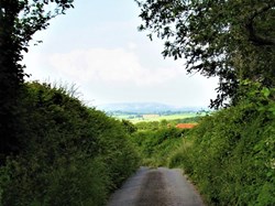
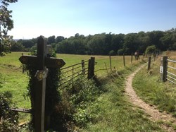
Ninfield Parish is in the High Weald national character area, except for a small part in the Pevensey Levels. The High Weald is one of the best surviving medieval landscapes in Britain. The village is situated on a prominent ridge extending eastwards from Standard Hill and is elevated from the surrounding landscape with long distance views afforded from the existing settlement edge. The landscape is characterised by a patchwork of ancient woodland and fields with historic farmsteads. Views from the north east of the settlement extend across the countryside towards Catsfield and beyond. The sea and the South Downs National Park, on the opposite side of the Pevensey Levels, are clearly visible in the distance to the southwest.
