Brief History of Bleasby
The parish of Bleasby lies in Nottinghamshire’s Trent Valley, thirteen miles from Nottingham to the south, ten miles from Newark in the east and just four miles from the historic cathedral town of Southwell. The area remains very rural in character, surrounded by agricultural land on all sides, rich in trees and hedges and blessed with some very attractive countryside, central to which are the Trent hills, the river itself and its valley.
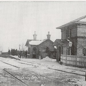
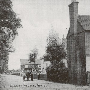
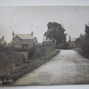
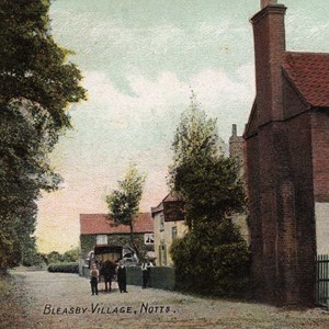
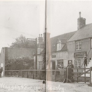
One of the special characteristics of the parish is its structure as a series of discrete settlement areas with open fields between each area. The main settlement, with the largest number of dwellings is Bleasby Village itself which, apart from a number of side lanes, is a more or less continuous ribbon of dwellings along the main road through the village from the station to the Old House and Bleasby Hall. The old village clusters round St Mary's Church, Glebe Field, the Village Hall and the Waggon and Horses and it is here that most of the older houses are situated.
Then there is Goverton set on the rising hill slopes, a compact settlement surrounded by some most attractive fields, including a number which retain ridge and furrow and some which are flower-rich. In this hamlet are found several significant older dwellings and there are also many fine trees.
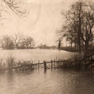
At the other end of the parish is Gibsmere where there is a mix of new and old properties. A most interesting feature of Gibsmere is the Pickerel Pond or Play, an ancient widening of a dyke, referred to in Domesday Book and which provided fishing for the Archbishop of York for many centuries. Being nearest the river, Gibsmere has quite often experienced flooding, most notably in November 2000, when the Trent rose higher than it had done for many years.
As well as these there is Notown, first recorded in 1604 as a cluster of cottages build upon waste land, and now swallowed up within Bleasby: and also Hazelford, the site of an ancient and important crossing of the river. There are also the smaller settlements of Rudsey, up on the hill towards Southwell, and the Manor Farm area, the farm known at one time as Gourton (Goverton) Court.
The fields surrounding Goverton, between Goverton and the Manor/Granary Farms cluster and then between this cluster and the railway; the fields beyond the Old House and Bleasby Hall to Gibsmere and Hazelford, they all contribute to Bleasby’s characteristic structure of small settlement areas amidst open land.
The parish is lucky to be well documented, including by a map drawn up about 1574 and pre and post enclosure maps of the 18thcentury. There are also many other documents – wills, charters, indentures etc – which can be found in the University of Nottingham and the Archives Office. There is also the diary of John Holmes, written early in the 19thcentury and containing fascinating facts about the houses and their occupants, farming practices and unusual events. Further information as such can be accessed through contacting Bleasby Local History Society.
