Salisbury Plain
Salisbury Plain
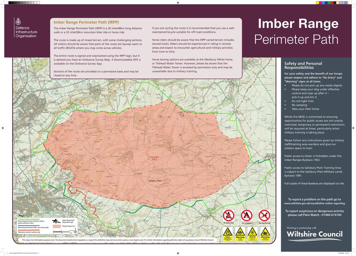
It is the largest remaining area of chalk grassland in Northwest Europe, home to 2,300 prehistoric sites and also the largest military training area on British soil. Surprisingly the military presence benefits the archaeological sites and natural habitats. The Bulford and Larkhill Ranges are adjacent to the managed access area and are closed to the public during Live Firing. They are used extensively, normally five days per week, Tuesday and Thursday evenings and at least one weekend per month. Red flags are flown or lamps lit at night around the danger areas, at which time public access is prohibited. When the flags are down or lamps unlit at night you may enter this Danger Area. Access guidance and the bylaws relating to access to military land is available with supporting details are given in MOD literature in the Download Library.
---------------------------------------------------------------------------------
OS Map References
OS Landranger (1:50,000) Sheets 183 & 184
OS Explorer Sheets (1:25,000) Sheet 130 (Salisbury and Stonehenge rev. 2009) & Sheet 143 (Warminster and Trowbridge rev. 2010).
--------------------------------------------------------------------------------
Defence Estates Newsletters - Each month, Defence Estates publishes a newsletter giving details of operational training activity, including live firing and aircraft movements.
https://www.gov.uk/government/publications/salisbury-plain-training-area-spta-newsletter
For further information, call 01980 674763. An answer phone recording gives up to date information on areas open for public access.
If you see anything suspicious, please call Plainwatch on 01980 674700 (a Ministry of Defence Police intelligence gathering project). The more information given the better e.g. time and place, vehicle registration, description of individuals and vehicles.
If a crime is taking place call 999 and do not challenge the offenders.
