Flooding
Background
A Flood Committee was established by the Parish Council in August 2007 as a response to the severe flooding experienced in July that year.
The prompt establishment of this committee enabled Bourton to be one of the first communities to contact the County and District Councils, the Environment Agency and Thames Water and arrange walkabouts of the areas affected by floods. These on the spot visits definitely helped Bourton get everybody’s attention at a time when many Cotswold communities were going to be competing for funding to create flood defences.
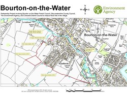
As a result, a Partnership was set up with GCC, CDC, the EA and the Parish Council which identified 3 major projects to help reduce the risk of future flooding locally (see attached Partnership Project Map at foot of page):
- The bund (or raised bank which retains flood waters behind it) on the Rissington Road between Clock House and Birdland;
- The bunds in the Conigers and Naight meadows;
- The extension of the main Broadlands-Nethercote flood water ditch and associated works.
The aim of each project was to create a safe area where flood and surface waters can be stored without threatening property, and the last phase of these works to the south of Pockhill Lane completed in autumn 2010.
These efforts were recognised when this Committee won the category for the Best Example of Partnership Working at awards organised in 2009 by the EA to acknowledge flood efforts in Oxfordshire, Gloucestershire, Wiltshire and Worcestershire.
Following completion of the Partnership works, the Parish Council now deals with any flood related matters on an ad-hoc basis within its monthly meetings and the Flood Committee has been disbanded.
During the heavy rainfall in 2012 when much of the country was again flooded, the new defences appeared to work well in containing any high waters in safe areas. The bund at Birdland was very effective as the river again over-topped at this point but, contrary to what happened in 2007, these waters were contained with the storage area between the river and the road. Some residents seemed concerned that the footpath was flooded but this was designed to happen, on the basis that there is an alternative footpath on the other side of the bund, which can be used.
The construction of a further defence was completed adjacent to the footpath which leads from the Ford crossing to Birdland, to the rear of Clock House and a new wall to protect the drainage ditch from overflowing river waters was put in place.
In times of flooding or heavy rainfall, the river overflows and river waters pour into this ditch, which causes water to back up in the ditch and also along the length of the surface water pipe network which feeds into the ditch. This network serves the majority of the northern section of the village, and surface water is take via ditches and pipes alongside the school playing field and under the former Paragon Garage in Lansdowne where it joins the main pipe which runs along the High St, and under the Village Green before joining the ditch at Clock House. As you can imagine, any overloading of this ditch with river flood waters can therefore have a significant impact upon the system upstream.
Previously, in times of heavy rainfall the Council had to put sandbags across the ditch to prevent river waters from entering it. The new flood defence comprises a permanent low wall which acts as a barrier for flood water and keeps the river within its banks at this location. The Council contributed £1,911 towards the cost of this work, and CDC funded the balance. The Council is grateful to CDC for prioritising this work which added one more layer to local flood defences.
The flood defences and equipment are scheduled to be inspected annually at which time the Council will consider whether anything else needs to be done to provide further protection for the village against flooding.
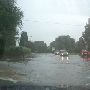
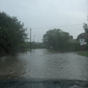
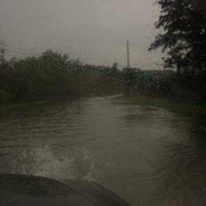
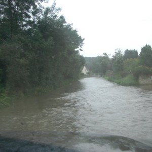
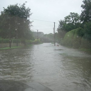
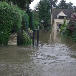
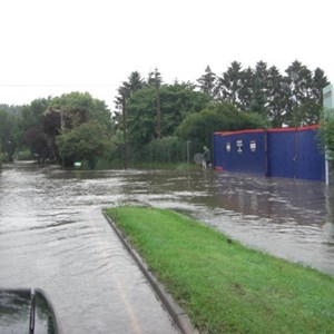
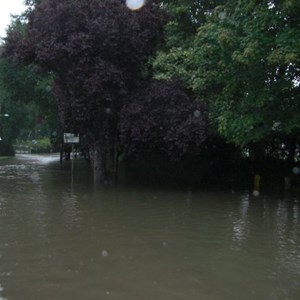
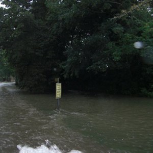
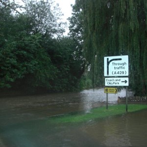
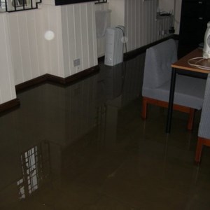
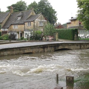
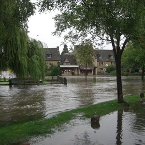
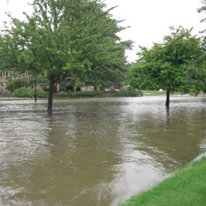
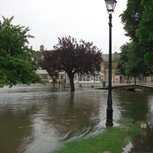
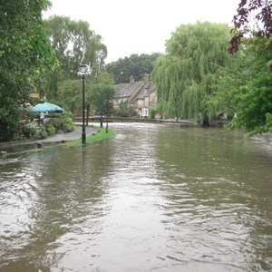
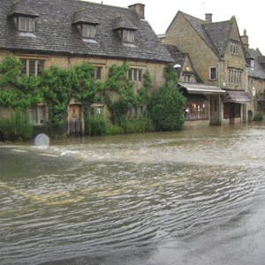
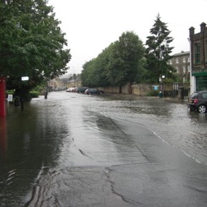
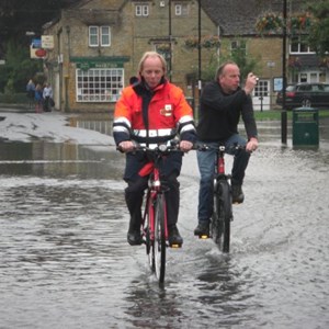
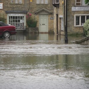
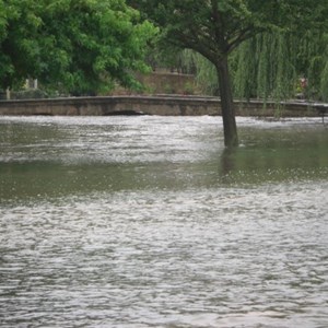
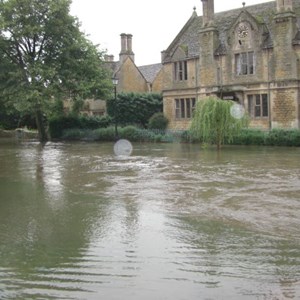
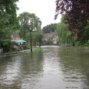
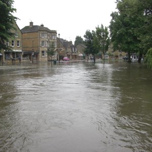
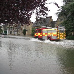
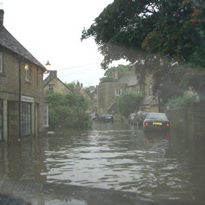
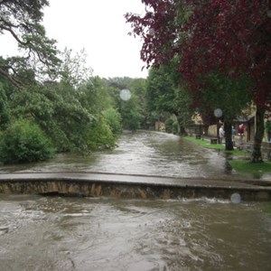
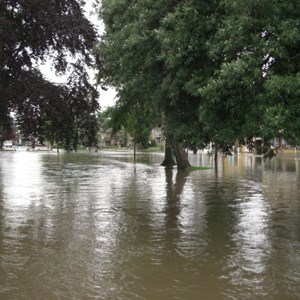
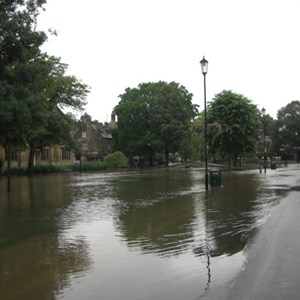
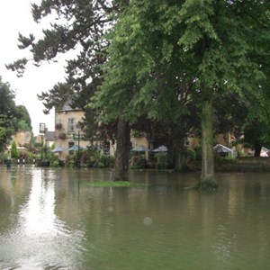
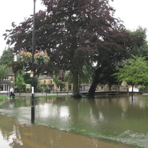
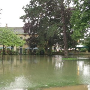
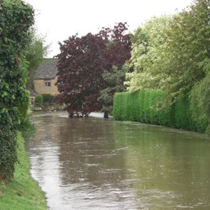
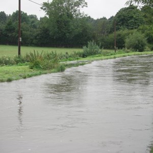
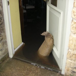
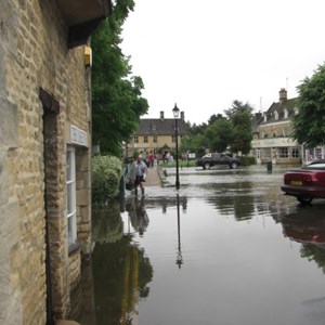
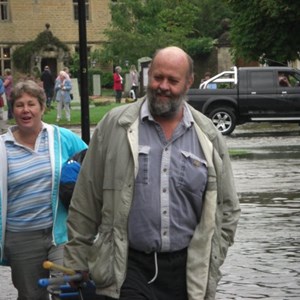
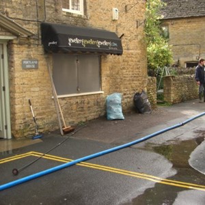
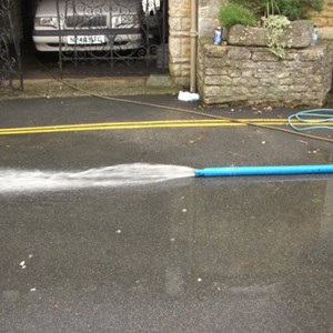
Below you will see a gallery of images taken by the Council and residents during the devastating floods in July 2007.
Flood-related issues
Residents are reminded that neither the Parish nor District Councils have the resources to provide provide sandbags for private, domestic or commercial use. Both councils retain a small stock of sandbags for strategic deployment only, to protect large areas as and where necessary. Residents living in Flood Zones or in areas where there is a risk of flooding are therefore strongly encouraged to ensure they have their own stocks of sandbags to use on their own land, if needed. In times of heavy rainfall it is likely that suppliers may run short of these items so residents are again asked to make arrangements well in advance. Sandbags can be purchased from most local builders merchants
Residents in areas at risk of flooding are also reminded that they can sign up to receive individual Flood Alerts and Warnings. To receive this service, please refer to the Environment Agency web-site on www.environment-agency.gov.uk or call the EA Floodline on 0845 988 1188. The Environment Agency also publishes details of river levels on its website. You can access this via the web-site by selecting River & Sea Levels under the Homes & Leisure tab, and then clicking on the appropriate region and village location to see river levels established at our two local stations.
Cotswold District Council’s website (www.cotswold.gov.uk) also provides up to date information on what to do in the event of flooding and how to protect properties from flooding. We advise the public to utilise this information and to sign up to the information provided by the Environment Agency (www.environment-agency.gov.uk).
Environment Agency
The Environment Agency is an executive non-departmental Public Body responsible to the Secretary of State for Environment, Food and Rural Affairs. Its principal aims include the protection and improvement of the environment, the promotion of sustainable development and the provision of Flood and Coastal Risk management services. The Flood and Coastal Erosion Risk Management team works to help protect communities against flooding and to minimise the risks caused by any floods that do occur. It also provides advice to the public on how to reduce the likelihood of flooding as well as post-flood guidance. The EA is responsible for establishing maps showing the extent of areas at risk of Flooding (Flood Maps). Residents wishing to view information and guidance provided by this agency should click on the link below.
Click here to visit the Environment Agency Flood Web pages (opens in a new window)
Residents whose properties are within the Flood Zone or which are deemed to be at risk of flooding can sign up to receive Flood Warnings. Residents are strongly encouraged to do so, and they can register for this service by calling the EA Floodline on 0845 988 1188.
Property owners can contact the EA's External Communications Department (thewest@environment-agency.gov.uk) who can provide details of any local flood defences, and send details to insurance companies for their consideration.
