Green Lanes
Background – Warnford’s Green Lanes
The map below shows Warnford Parish’s four “green lanes” - Green Lane, Dark Lane, Bosenhill Lane and Farm Lane. They have a total length of about 2.5 miles.
Note that motorised transport is now banned from Bosenhill, Green and Dark Lane by virtue of a Traffic Regulation Order made in 2018, the background to which is in archived info. Any motorised traffic (except that permitted for access) should be reported to the Clerk
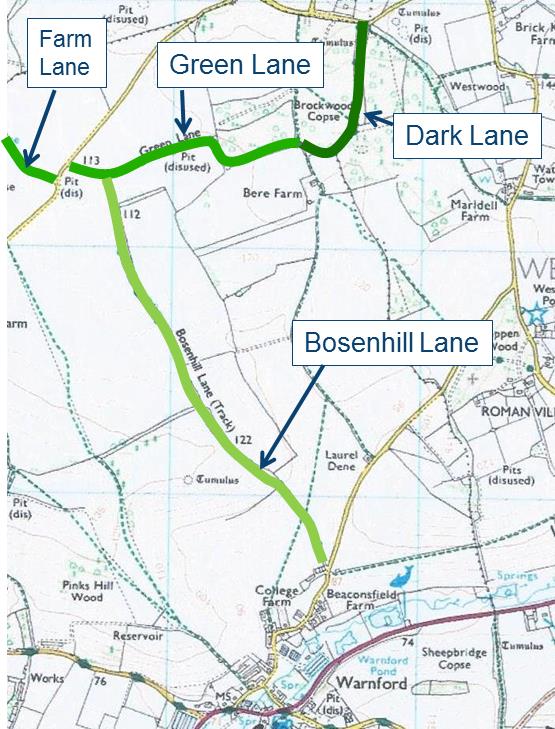
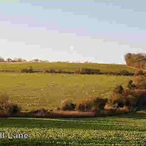
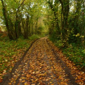
They are unsealed Unclassified County Roads (uUCRs) so, until the TRO was put into effect, any kind of traffic could use them legally. They have a long history, being shown on the earliest maps of the Parish. There are (or were) long stretches of ancient flint metalling and parts of the lanes are flanked by strips of residual woodland which contain many varieties of trees and flora and form an important environmental asset in a farmed landscape.
From the advent of motor traffic in the 1930s until about five years ago these lanes were used almost exclusively as bridleways, forming a very useful route northwards out of the Parish towards Bramdean and Hinton Ampner. The lanes form an important part of the network of access to the countryside in this beautiful part of the South Downs National Park, in an area where the local main roads are heavily used by motor traffic and have virtually no facilities for safe use by pedestrians, cyclists and horse riders. Only one short section of Green Lane is now regularly used for farm access to adjoining land.
Problems
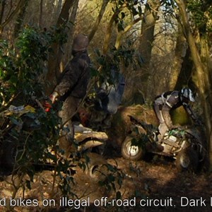
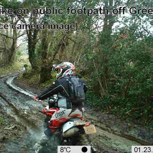
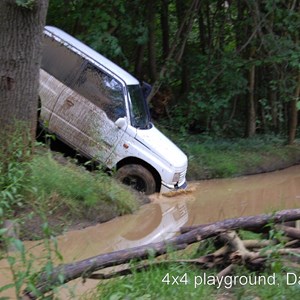
Over the past five years there has been a massive increase in the use of the lanes by recreational “off-road” 4x4s, quad bikes and trail motor bikes. The lanes are advertised on various off-roader websites as some of the best in the area.
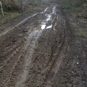
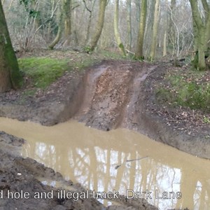
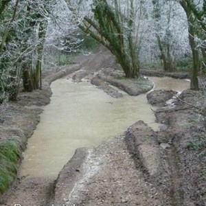
For more than six months of the year Dark Lane and parts of Green Lane and Bosen hill Lane are now dangerous to pedestrians , equestrians and cyclists. In some places safer routes have been created by trespassing on adjacent land. There is damage to the local environment and the ancient flint surface of Bosenhill Lane is being rapidly broken up and forced down into the mud.
